Flood risks in the Styr-Prostyr River basin: Maps
2010
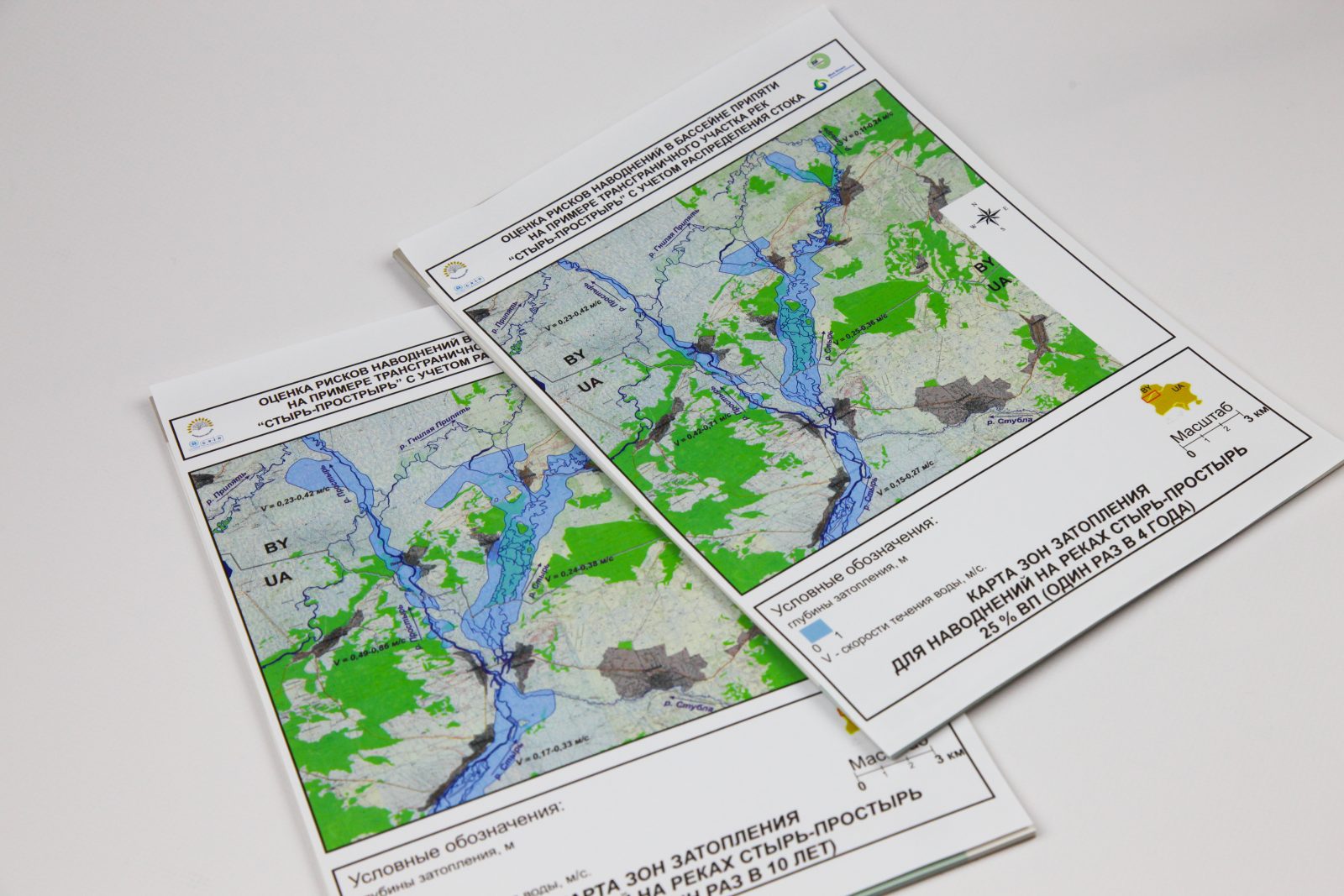
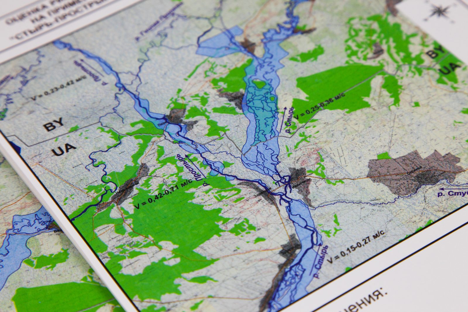
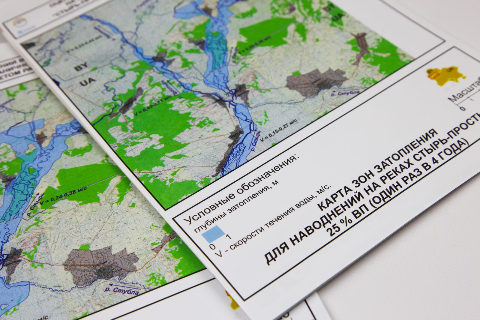
These maps display topography, infrastructure and risks to infrastructure for flood probabilities at several levels. The maps are JPG images in Russian, and the files are large.
topography of the basin
areas affected by floods with probability 0.5% – 1% – 10% – 25%
infrastructure in the basin
infrastructure at risk from floods with probability 0.5% – 1% – 10% – 25%


